 and thought maybe it was a solitary boundary pile. But I soon found a neighbor:
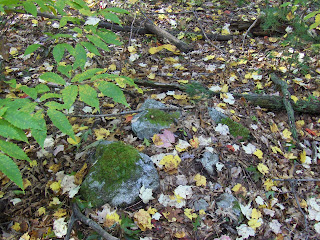 and beyond that, another.
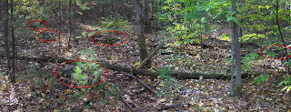
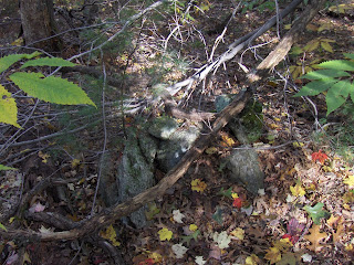 I noticed these piles were sort of evenly spaced, and definitely in a row. So I continued with my pessimism, thinking this was just piles being staged for later stone wall building. It was only when I found another pile off of this line that I was confident this was a ceremonial site. After poking around carefully, I found 5 piles in a cluster, in this arrangement:
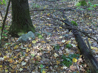 Might this be the viewing location?
So I was happy to find a little west-facing cluster of piles. If there were no trees we would be looking towards Mt. Wachusett - something which is also a common feature of many marker pile sites around here: a nice view over water and towards Wachusett.
But I was dreaming of finding a bigger rock pile, and found three of them about 30 yards further downhill. Later I realized that, without underbrush, both smaller and larger piles would have been visible at the same time. Seeing larger piles further downhill is also typical of marker pile sites (for example and scroll down). This suggests that the viewing position is uphill and the increase in size of the lower piles is necessitated by their being further from a viewing position.
I believe most of my readers think I have gone off the deep end when I start talking about grids of piles, lines of piles, viewpoints and this sort of thing. It is too bad because this is what observation shows me. To me these pile placements form a sort of gird:
 Here are the larger piles:
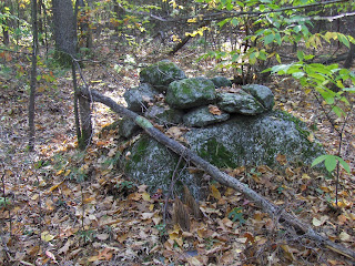 Another:
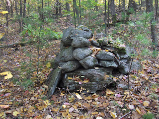 Note the nearly vertical side (another common feature of marker piles) and note the rock propped up against the pile. My colleagues have taught me to look closely at flat triangular- or manitou-shaped stones leaning against rock piles. Have another look:
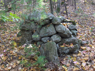 That is not a fallen rock but a deliberate placement.
Here is that third large pile:
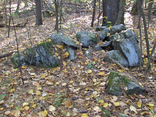 I poked around some more in the vicinity and came up with one more substantial pile (there were a few minor rock-on-rocks I am not showing). This one was elongated and perhaps damaged:
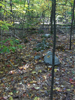 What with the original little cluster of 5 piles, the occasional rock-on-rock, the minor structures uphill that could have been a viewing location, the larger piles downhill, and this elongated pile to the side - what with all these specifics, it is clear this is not just a grid but a small detailed site, well worth studying more.
After this I combed the hillside back and forth until I realized there were clusters everywhere, and I got tired of looking for them before I ran out of new things to see. I'll post some more later.
Overall this cluster looked (in a very crude approximation) something like this:
No comments :
Post a Comment